General Land Office (GLO) plat maps are derived from original surveyor notes of the State of Michigan.  The survey was conducted in the early to mid 1800's.  All documents pertaining to the original survey of Michigan can be found in the State Archives of Michigan.


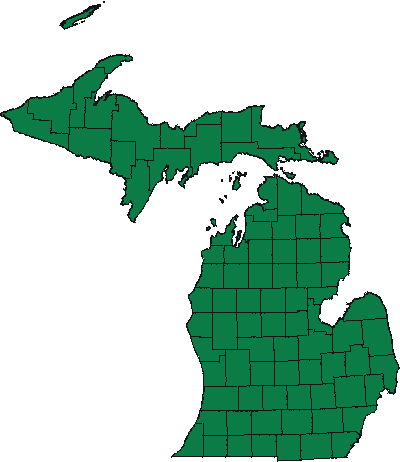
To view a map, select a county from the State map or list.

Pause the pointer over a county on the map to view the county name.


Cass County Van Buren County Kalamazoo County St. Joseph County Berrien County Allegan County Kent County Barry County Branch County Ottawa County Muskegon County Oceana County Newaygo County Mason County Manistee County Benzie County Lake County Hillsdale County Lenawee County Monroe County Calhoun County Jackson County Washtenaw County Wayne County Eaton County Ingham County Livingston County Oakland County Ionia County Montcalm County Clinton County Gratiot County Shiawassee County Huron County Tuscola County Sanilac County Genesee County Lapeer County St. Clair County Macomb County Mecosta County Isabella County Saginaw County Midland County Bay County Osceola County Clare County Wexford County Gladwin County Arenac County Missaukee County Roscommon County Ogemaw County Iosco County Grand Traverse County Kalkaska County Crawford County Oscoda County Alcona County Alpena County Presque Isle County Montmorency County Otsego County Cheboygan County Emmet County Charlevoix County Keweenaw County Antrim County Charlevoix County Leelanau County Leelanau County Menominee County Dickinson County Iron County Gogebic County Delta County Ontonagon County Luce County Chippewa County Mackinac County Schoolcraft County Alger County Keweenaw County Houghton County Marquette County Baraga County